Story Maps

Detecting Seal Pups by leveraging Machine Learning
This project uses machine learning algorithms integrated with ArcGIS Pro to automatically detect and monitor seal pups in aerial imagery. The system applies deep learning techniques to distinguish seal pups from surrounding features with high accuracy, enabling more efficient wildlife monitoring while reducing field survey costs and minimizing disturbance to sensitive habitats. The solution includes automated image processing, spatial pattern analysis, and interactive visualization dashboards for conservation management.
View Story Map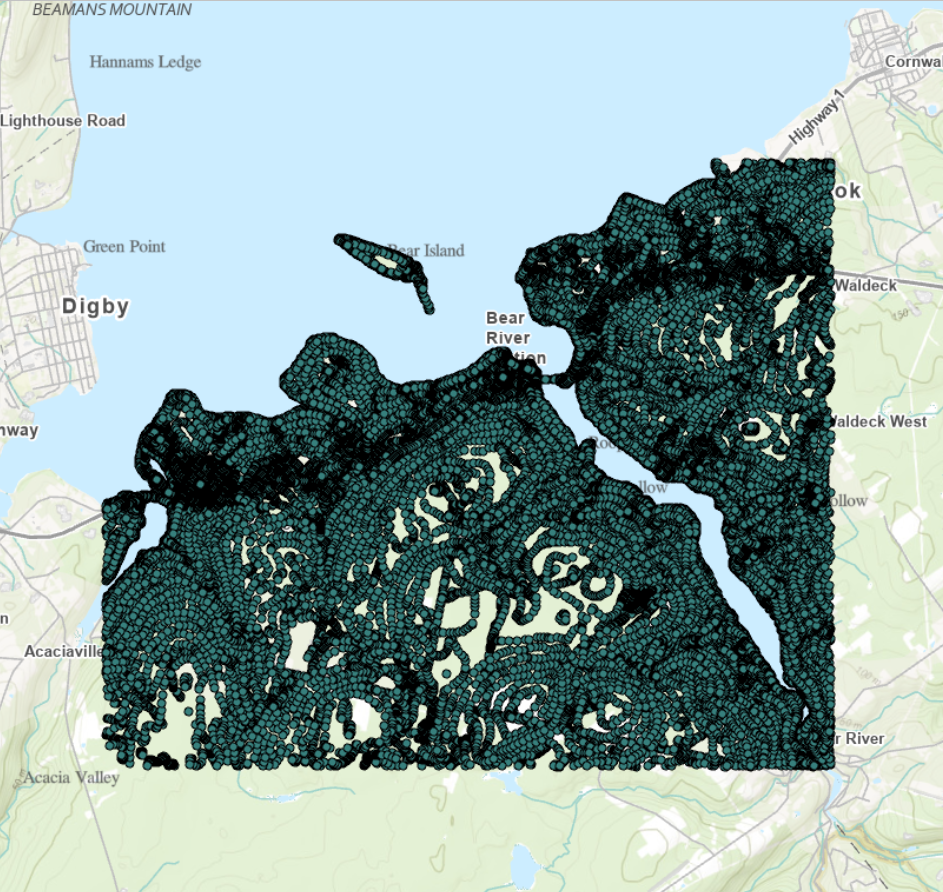
Points to Peaks: Crafting a Digital Elevation Model from CSV
A Step-by-Step Guide on Transforming CSV Spatial Points into Digital Elevation Mastery (DEM)
View Story Map